Take a Hike
The 11 best hiking trails in San Antonio: Explore another side to the Alamo City

San Antonio — Texas’ second largest city and the nation’s seventh — may be most famous for the iconic Alamo and vibrant downtown River Walk. But it also offers quite a few excellent hiking opportunities with trails that range in length, difficulty, and scenery. Here are eleven of the best trails in San Antonio, plus a couple more options for those who prefer a more leisurely pace.
Mission Reach
Location: South of downtown
Length: 8 miles
The San Antonio River Walk covers a total of 15 miles, but most people only know it as a tiny portion of historic downtown. The 8-mile Mission Reach section goes south, past the four sites of the San Antonio Missions National Historical Park — Concepcion, San Jose, San Juan, and Espada. This paved trail traces shores of the restored San Antonio River and is open 365 days a year. It is also open to bicycling, with BCycle bike share stations scattered along its length.
Open daily from dawn to dusk.
Eisenhower Park
Location: North of downtown
Length: 2.5 miles
This rugged urban park offers several hiking options. For a hilly route with a wilderness feel, start on the Yucca Trail clockwise, winding in and out of cedars and climbing to the Cedar Flats Trail, following it through lush vegetation. Turn left and continue climbing, with a short detour to an observation tower — which offers nice views of the city — then hike up and down through rocky areas, eventually descending back to the parking area.
Open daily from sunrise to sunset. Free. No bicycles allowed.
Friedrich Wilderness Park
Location: Northwest, outside Loop 1604
Length: Varies
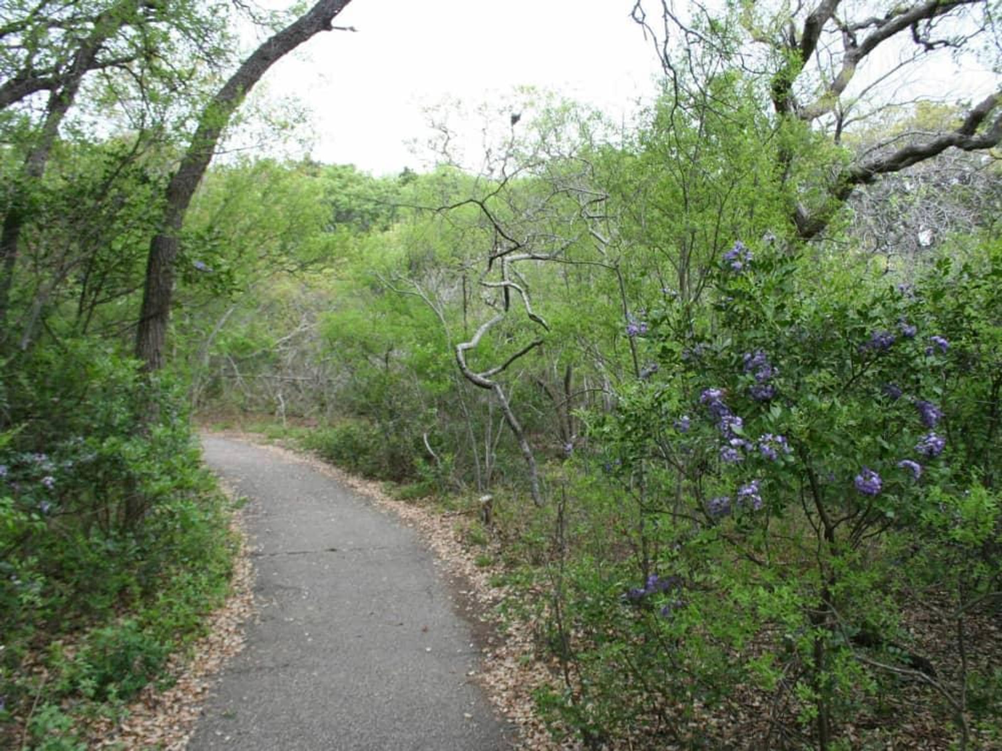
This 230-acre City of San Antonio Natural Area near I-10 has several routes ranging in length and difficulty. The 2.1-mile Main Loop is moderately difficult; add in the difficult 1-mile Vista Loop plus the difficult 0.1-mile Fern Dell and moderate 0.2-mile Juniper Ridge for a longer hike. This route will take you through diverse habitats including juniper and deciduous woodlands, grasslands, intermittent creeks, and rocky canyons. A trailhead kiosk contains maps, and low wooden markers identify plants of interest.
Open from 7:30 am to sunset daily except Christmas Day and New Year's Day.
Crownridge Canyon Natural Area
Location: Near I-10 and Loop 1604 intersection
Length: 1.9 miles
The Red Oak Trail loop, leading to the bridge crossing Red Oak Canyon, runs 1.3 miles with an ADA-accessible surface. Looping off its far end, the 0.6-mile Bear Grass Trail has a natural surface and a few steep slopes and rocky ledges. This 200-acre natural area features a canopy-level bridge overlook, forested canyon bottoms, hillside vistas, and restored grasslands, as well as opportunities to view the endangered golden-cheeked warbler in spring and summer nesting seasons. Interpretive panels in the trailhead pavilion describe the natural history of the area.
Open 7:30 am to sunset every day except Christmas and New Year's.
Government Canyon State Natural Area
Location: Far northwest
Length: Varies
Nearly 40 miles of trails wander the rugged canyon lands of this natural area, ranging from 2.6 to nearly 12 miles in length. The property lies on the Balcones Escarpment, with deep canyons defining the eastern boundary of the Edwards Plateau and ridges offering scenic views. Check out remnants of old ranch operations, creeks, and dinosaur tracks. Deer, quail, warblers, and other wildlife call this park home as do a variety of trees including mountain laurel, Ashe juniper, mesquite, live oak, Mexican buckeye, Lindheimer’s silk-tassel, and escarpment black cherry.
Entrance fee is $6 per adult. Open Friday through Monday and on major holidays, 7 am to 10 pm.
O.P. Schnabel Park
Location: Northwest of downtown
Length: 4.5 miles
This 202-acre park includes hillsides, open grassy and wooded areas, and a rocky creek bed. Hikers share the trail with rabbits, roadrunners, deer, and other wildlife. Combine Big O.P. Loop with Tower Loop and Bluff Loop trails for the longest hike.
Open daily, 5 am to 11 pm.
McAllister Park
Location: North near the airport
Length: Varies
This 976-acre park offers several trail options totaling more than 10 miles, many also popular with mountain bikers. The outer Blue Loop, a combination of asphalt and natural surface, is 6.8 miles long; the 1.7-mile Red Trail meanders across the middle of the loop. From McAllister Park, hikers can access San Antonio’s Salado Creek Greenway North, four scenic miles that include a 3,400-foot boardwalk along a Salado Creek wetland area by Nacogdoches Road.
Open daily, 5 am to 11 pm.
Pearsall Park
Location: Southwest
Length: Approx. 2 miles
This park near the Lackland Air Force Base has a dog park and disc-golf course in addition to a 1/3-mile trail. It also has a trailhead for the Leon Creek South Greenway, a 1.5-mile hike-and-bike trail that goes near Quintana Road. It includes a parking lot located at Old Pearsall Road, large hardwood trees, beautiful views of the creek, and trailside seating areas.
Open daily, 5 am to 11 pm.
Medina River Natural Area
Location: South
Length: 3 miles
This 511-acre park includes areas on both sides of the river. Start on the El Camino Trail, past the picnic pavilion to the Rio Medina Trail, which parallels the river through tall trees. It intersects the Olmos Trail, which traverses a typical South Texas landscape of cactus, mesquite, and yucca. Hikers can expect to see a variety of birds, including owls, along with dragonflies and butterflies, depending on the season.
Open 7:30 am to sunset every day except Christmas Eve, Christmas Day, and New Year’s Day.
If walking is more your style than hiking, San Antonio has you covered there, too.
Japanese Tea Garden
This garden stroll features shaded walkways, stone bridges, a 60-foot waterfall, ponds filled with koi, an island, and a Japanese pagoda. A cafe serves lunch and a selection of Japanese teas. The gardens are part of Brackenridge Park and near the San Antonio Zoo just north of downtown.
Open every day from sunrise to sunset. Free.
Museum Reach
The San Antonio River Walk is 15 miles, with this paved section stretching north from downtown about 4 miles to Brackenridge Park, home of the San Antonio Zoo and Witte Museum. It also passes the San Antonio Museum of Art and a lock and dam near Brooklyn Avenue, where you can watch the tour boats make the transition from the upper to lower river or vice versa. Look for the colorful fish art installation where the trail passes under I-35.
Free.
---
Want more great stories like these delivered to your inbox daily? Then sign up for our emails.
